
Frequently asked questions:
What is a Coastal Management Program?
Coastal Management Programs (CMP) set the long-term strategy (or Plan) for the management of our coastal environments including our estuaries, lagoons, beaches and their associated catchments.
The Plan must:
- identify the coastal management issues and opportunities affecting the locations covered by the program
- identify the actions required to address those coastal management issues in an integrated and strategic manner
- identify how and when those actions are to be implemented and the allocation of responsibility.
Each Plan must also meet a range of State government requirements under the new Coastal Management Act 2016 (CM Act) and the draft Coastal Management Manual 2015.
You can access the Manual and find out more detailed information about Coastal Management Programs here.
Purpose of the CMP
Six partner councils, in association with the DPE, are preparing a Coastal Management Program (CMP) to set out a long-term strategy for sustainable and coordinated management of the Hawkesbury-Nepean River estuary.
The Plan will determine actions that can be implemented by Councils, government agency stakeholders and the community to achieve the right balance between the many different uses and to protect nature, scenic and recreational values, livelihoods and cultural practices. It will also detail costs and proposed cost-sharing arrangements and other viable funding mechanisms.
What issues will be covered by the CMP?
The Plan will cover a range of issues, including:
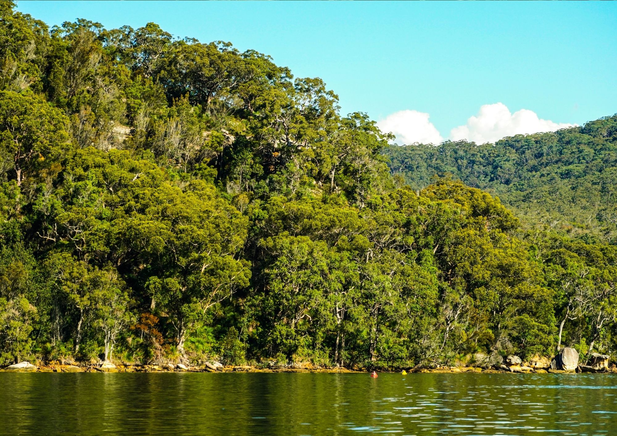
1. ecological values, including aquatic and terrestrial habitats, riparian and floodplain connectivity, flora and fauna, and exotic species that threaten ecosystem integrity;
2. key aquatic ecosystem processes, indicators and their triggers;
3. adaptation to climate change, potential inundation of built assets because of sea level rise, and capacity for migration of natural habitats;
4. physical environmental conditions, including foreshore erosion, bank instability and coastal shoreline recession;
5. event-based hazards, such as coastal and catchment flooding, bushfires, droughts, tsunamis;
6. water quality, including catchment inputs to the estuary, and the impact upper catchment and floodplain runoff has on ecosystem health
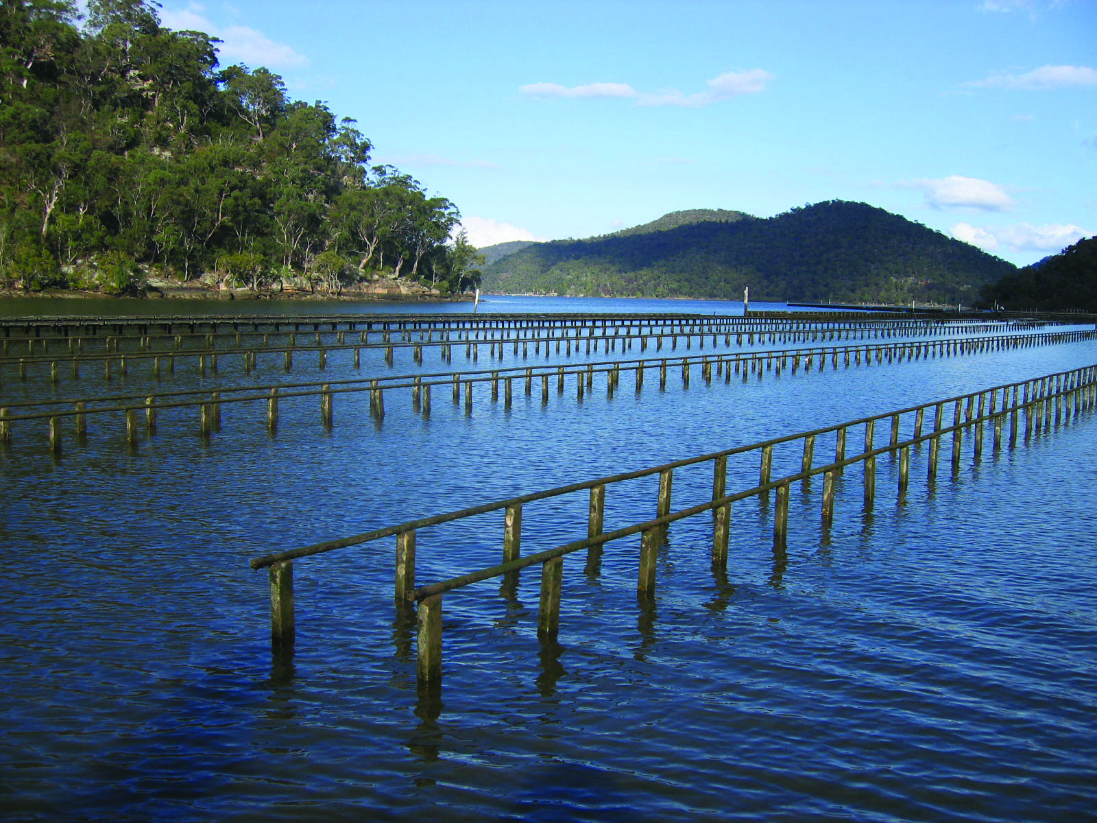
7. recreational and sustainable commercial uses of the estuary (e.g. fishing, oyster farming, tourism, boating, agriculture, boating, etc.);
8. Aboriginal values and uses of the estuary;
9. community values of the estuary and aspirations for its use and management;
The Plan will guide how issues will be dealt with, who is responsible, where funding will come from and when actions will be undertaken.
What are the benefits of the CMP?
The CMP allows six partner councils to collaborate with the community and key stakeholders across the catchment and use the legislation to develop a whole of river plan.
The innovative whole of catchment approach is being applied to the Hawkesbury-Nepean CMP to address the transboundary nature of current and future risks, reflect community values, build a shared sense of direction and facilitate mutual responsibility and collective action.
The final outcome will be a legislatively backed, certified program that will open funding opportunities via the Coastal and Estuary Management Program whereby the NSW Government will pay up to 2/3rds of the total cost of grant funded projects.
What are the "coastal" areas covered by the CMP?
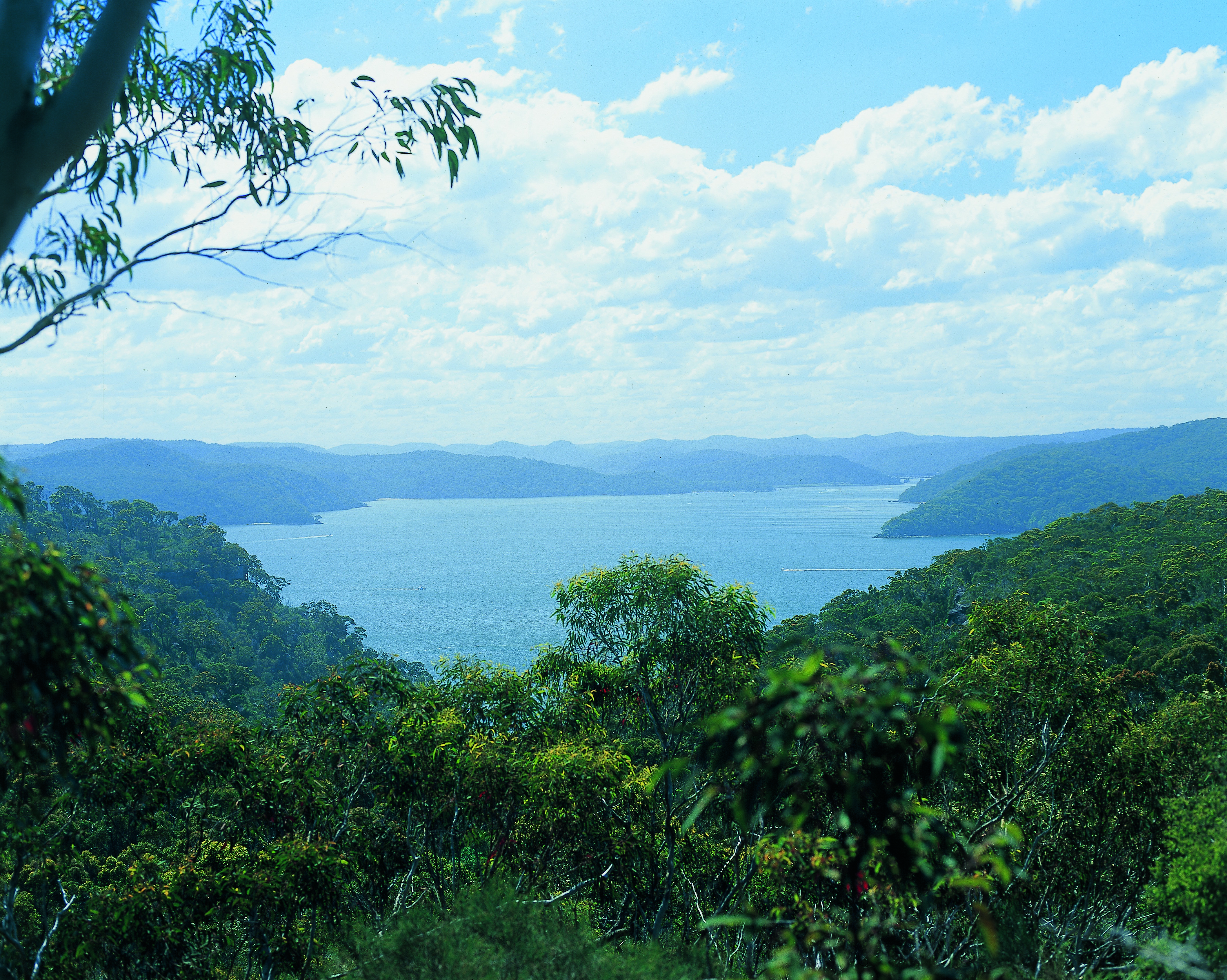
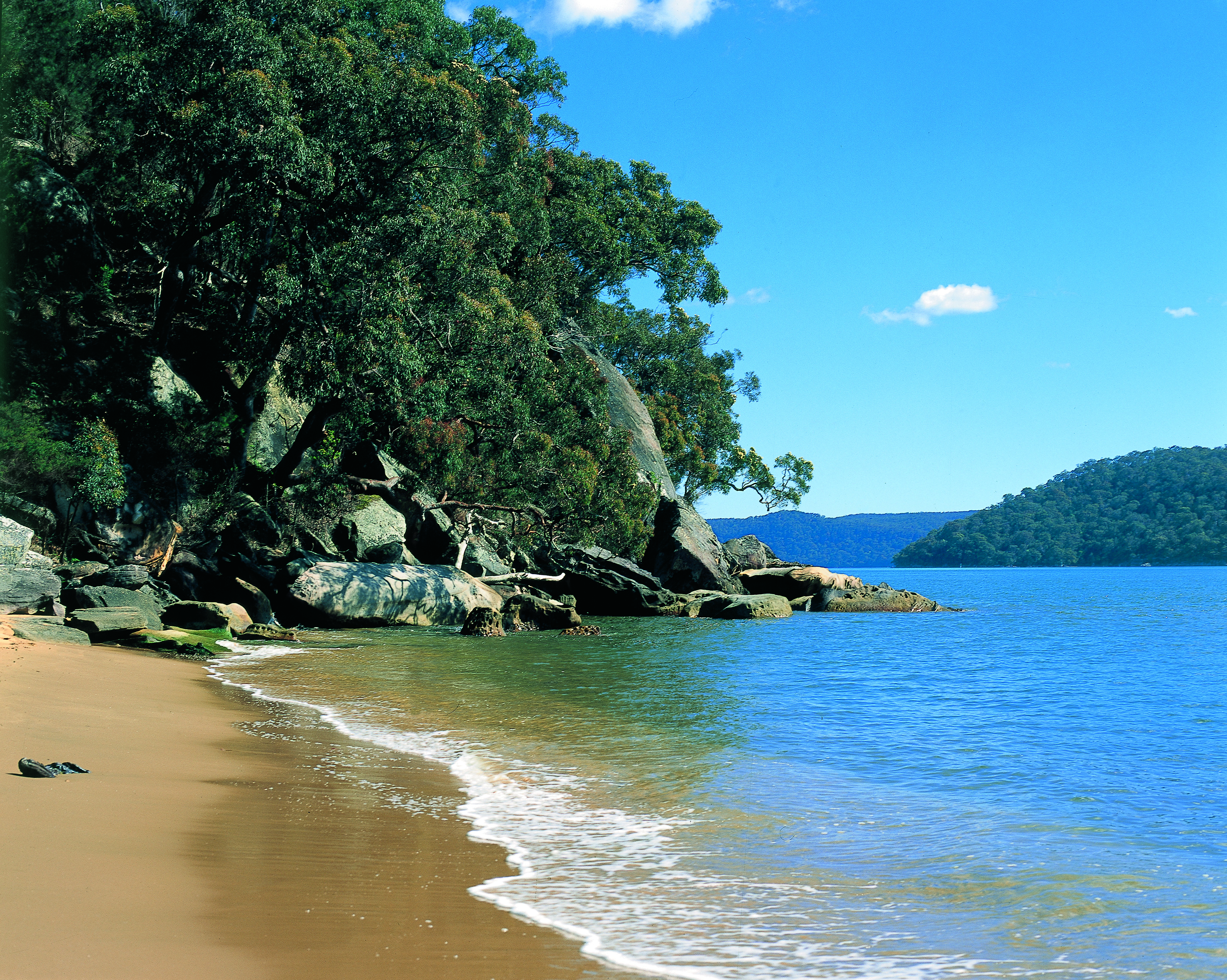
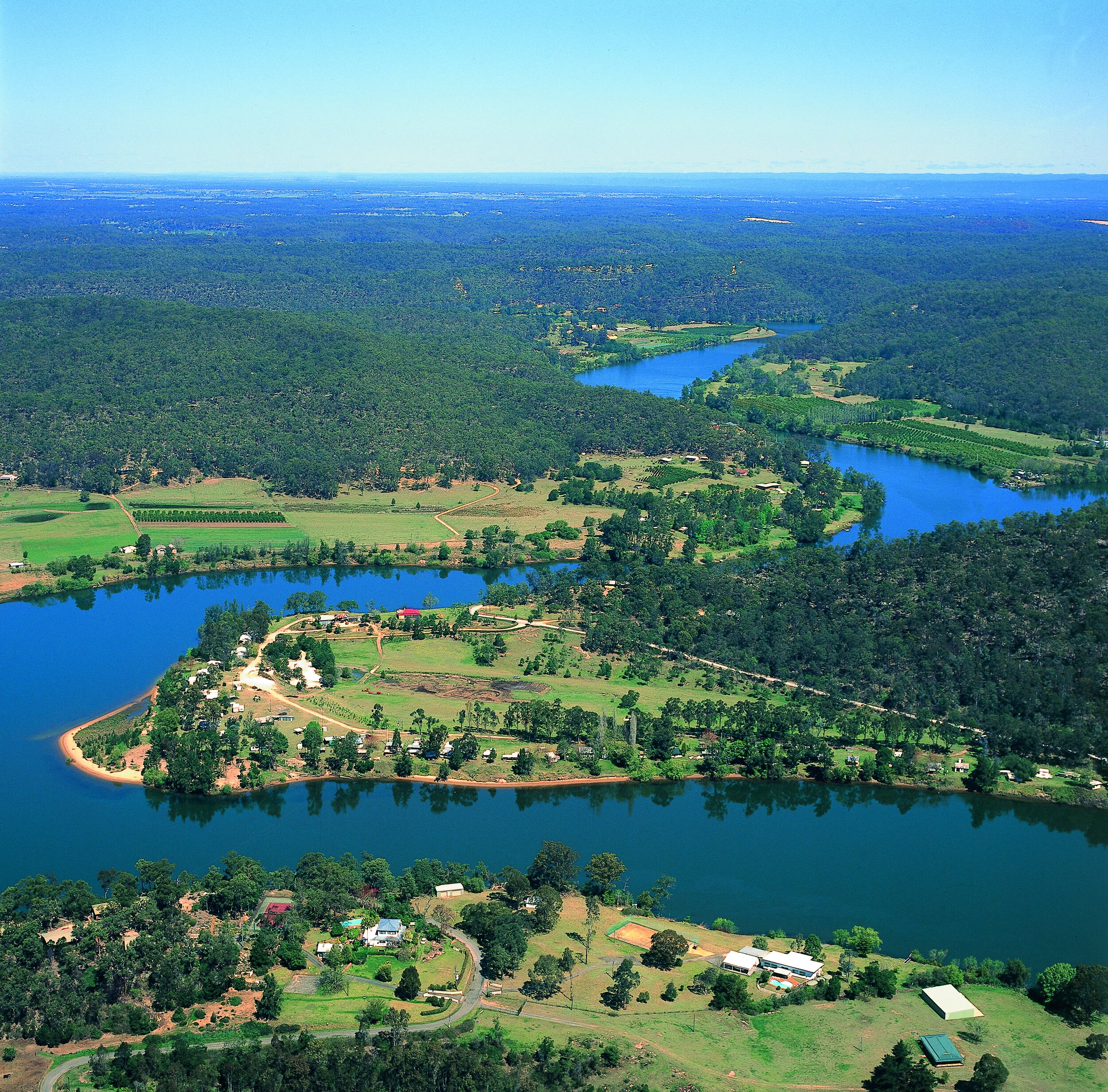
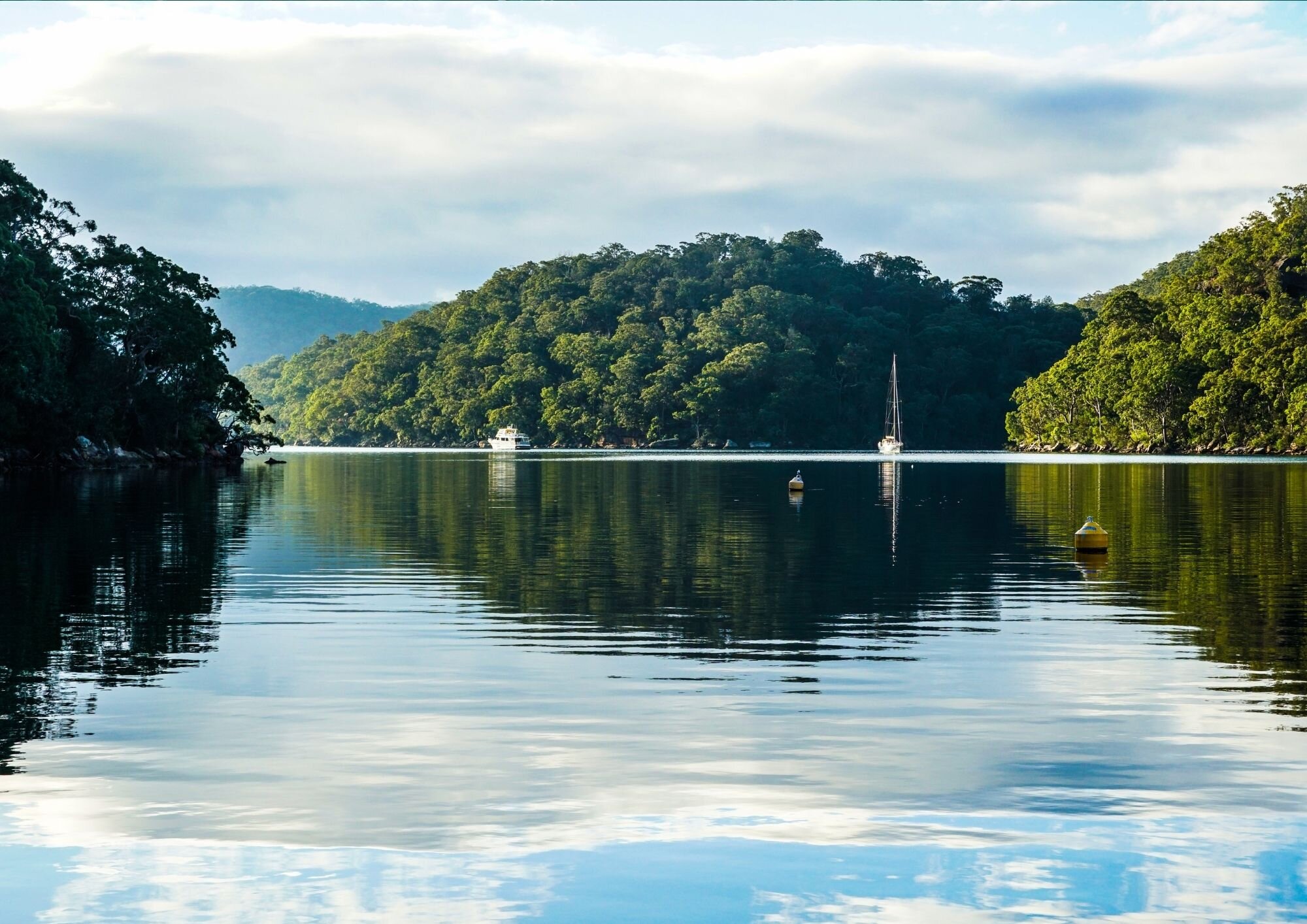
The CMP study area encompasses the tidal section of the Hawkesbury-Nepean River, Pittwater, Brisbane Water and Broken Bay. Specifically the tidal area of the river system refers to the area between Yarramundi to the estuary entrance between Box Head and Barrenjoey Head.
The NSW Coastal Management Act 2016, identifies the following four coastal areas as the most vulnerable and in need of protection:
- - coastal wetlands and littoral rainforests area
- - coastal vulnerability area
- - coastal environment area
- - coastal use area
The Hawkesbury-Nepean CMP is an opportunity to review these zones and where appropriate extend the boundaries of protection. Click the links below to see the coastal zones as they are currently mapped within the Hawkesbury-Nepean River system:
Coastal Vulnerability Area is currently not mapped for the study area and the CMP process will determine how this area will be interpreted for the Hawkesbury-Nepean River system.
Who's developing the Hawkesbury-Nepean CMP?
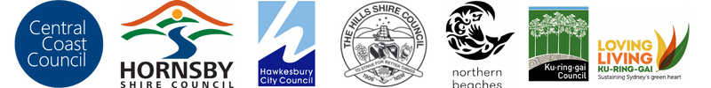
The Hawkesbury-Nepean Coastal Management Program is being coordinated by six partner councils:
- - Central Coast Council
- - Northern Beaches Council
- - The Hills Shire Council
- - Hornsby Shire Council
- - Ku-ring-gai Council and
- - Hawkesbury Council
in collaboration with other catchment councils, state government agencies, public authorities, land managers and community groups to develop the program.
We endeavour to identify and reach out to all stakeholders who are impacted by or interested in the project. If you would like to receive project updates and be consider during future consultation opportunities - register your interest here.
Current stage of the CMP
It is recommended that councils follow a five-stage risk management process for the preparation and implementation of a CMP.
We recenlty commenced the works on Stage 3, which will involve councils identifying coastal management issues affecting the areas to which the CMP is to apply and identifying coastal management actions required to address those coastal management issues in an integrated and strategic manner.
Stage 1 Scoping Study for the Hawkesbury-Nepean CMP was completed in April 2020 and concentrated on the review of existing plans, strategies and technical studies, as well as integration of stakeholder input.
Stage 2 was finalised in March 2023 and resulted in the development of several technical studies that were aimed to address the knowledge gaps identified in the Scoping Study and additional stakehodler and community engagement activities to raise further awareness of the project and highlight complexity of the issues river managers have to consider going forward.
What will the final CMP look like and when will it get finalised?
Depending on the circumstances, completion of stages 3-4 can take us anywhere between 1 and 2 years to complete. Following public exhibition, draft CMP will be sent to the NSW Minister for the Environment for certification. Once certified, the CMP will be implemented by the Partner Councils, in accordance with their respective Community Strategic Plans, Delivery Programs, resourcing strategies and land use planning instruments.
The final Hawkesbury-Nepean CMP will include:
- A list of issues facing the Hawkesbury-Nepean River System
- Actions to be implemented to protect the values of the Hawkesbury-Nepean River
- Prioritisation of actions in terms of their feasibility, viability and acceptability
- Responsibilities of different Councils, State Government agencies and other stakeholders for implementing agreed actions
- A business plan with the full capital, operational and maintenance costs, and timing, associated with each management action
- A coastal zone emergency action sub-plan, for dealing with coastal hazards
- Mapping of [coastal management areas][8] (including any proposed changes to current coastal management areas, or mapping of new coastal vulnerability areas)
Why do we need another plan/program/strategy for the management of our waterways?
Our previous Estuary & Coastal Zone Management Plans for the Hawkesbury River System including Brisbane Water, Pittwater and Broken Bay, were prepared in accordance with the Coastal Protection Act (1979) which was repealed in 2018 and replaced by the Coastal Management Act (2016).
As a result of this, the existing plans will cease to be recognised by the end of 2023 and will need to be replaced with Coastal Management Programs prepared in accordance with new legislation.
Further to this, both existing Management Plans and future CMPs require to be reviewed and updated at regular intervals (at least every 10 years) to ensure currency and to reflect on achievements and challenges in implementation.
Do Coastal Management Programs include the broader catchment area or just the water?
The advice from NSW Government is that Coastal Management Programs are to guide the management of the coastal areas of the estuaries only (see 'What are the "coastal" areas covered by the CMP' question above), however, Hawkesbury Nepean River System CMP recognises the importance of a holistic approach to river management and as such will consider all physical, biological and chemical processes occurring throughout the catchment which can impact on the health of the waterbodies (where practicable). The CMP will likely include management actions to address major threats & issues in the coastal zone, Partner Councils catchment areas and wider catchment (where practicable).
What will the Coastal Management Programs deliver for the community?
Coastal Management Programs identify coastal management issues and the actions required to address these issues in a strategic and integrated way. CMPs detail how and when those actions are to be implemented, their costs and proposed cost-sharing arrangements and other viable funding mechanisms.
How can I get involved in the development of the Coastal Management Programs?
Coastal Management Programs are developed in close collaboration/consultation with the community, a key output of the Stage 1 Scoping Studies being a stakeholder and community engagement plan. A number of committees will be created throughout the CMP process.
Have another question? Ask us!
Project Factsheets